 AP News
California Snowpack off to Great Start amid Severe Drought
By Adam Beam
Sacramento, CA: The snowpack in California's mountains is off to one of its best starts in 40 years, officials announced Tuesday, offering hope that the drought-stricken state could soon see relief in the spring when the snow melts and flows into reservoirs that provide water for drinking and farming.
Statewide, snowpack is at 174% of the historical average for this year, an impressive amount because of a spate of recent storms. Even more snow is expected later this week and over the weekend, giving officials hope for a wet winter the state so desperately needs.
“While we see a terrific snowpack — and that in and of itself may be an opportunity to breathe a sigh of relief — we are by no means out of the woods when it comes to drought,” said Karla Nemeth, director of the California Department of Water Resources.
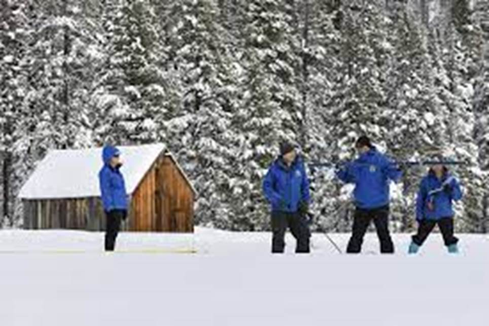
Officials from the department measured the snow and its water content in the community of Phillips just west of Lake Tahoe, marking the first snow survey of the winter. The snow there was at a depth of 55.5 inches (140.97 centimeters) — enough to store 17.5 inches (44.45 centimeters) of water. That's at 177% of the historical average for that station.
The past three years in California have been the driest ever recorded, dating back to 1896. State officials have severely limited water deliveries to farmers while Democratic Gov Gavin Newsom has urged residents and businesses to conserve water.
Roughly a third of California's water supply comes from melting snow in the Northern California mountains. About 75% of California's rain and snow comes from the watersheds north of Sacramento. But about 80% of the state's water demand comes from Southern California, where most of the people live.
Tuesday was the third most snow recorded in early January in the past 40 years, behind 1983 and 2011. The same thing happened last year, when a series of large storms in December pushed the state's snowpack to well above average. But the next three months were the driest ever recorded.
By the time the snow melted in the spring, the soil was so dry that it absorbed most of the water, leaving little to flow into the state's reservoirs. Many of California's reservoirs have been at historically low levels since then, prompting severe restrictions for farmers and calls to conserve for residents and businesses.
State officials think that is less likely to happen again this year because it has rained a lot more, meaning the soil is not as dry. Still, state climatologist Michael Anderson says officials have much work to do to better understand and plan for how dry soil can affect the amount of water that flows from melting snow in the mountains.
A New Year's Eve storm drenched much of the state in heavy rain, causing flooding that killed at least one person and damaged a levee system in Sacramento County. But that storm was warmer, bringing mostly rain instead of snow.
Two more powerful storms are expected to hit the state this week, and these will be much colder. The National Weather Service says the mountains could get up to 5 feet (1.52 meters) of snow between the two storms.
In Southern California, weather forecasters said “all systems go” for a major storm to sweep over the area Wednesday and Thursday, with peak intensity occurring from midnight to noon Thursday.
Strong winds will add to impressive storm dynamics “setting the stage for a massive rainfall event” across south-facing coastal mountains, especially the Santa Ynez range in Santa Barbara and Ventura counties, forecasters said.
On January 9, 2018, the community of Montecito on the foothills of the Santa Ynez Mountains was ravaged by a massive debris flow that killed 23 people when a downpour fell on a fresh wildfire burn scar. - AP

